Brazos & Navasota Bottom Crossings
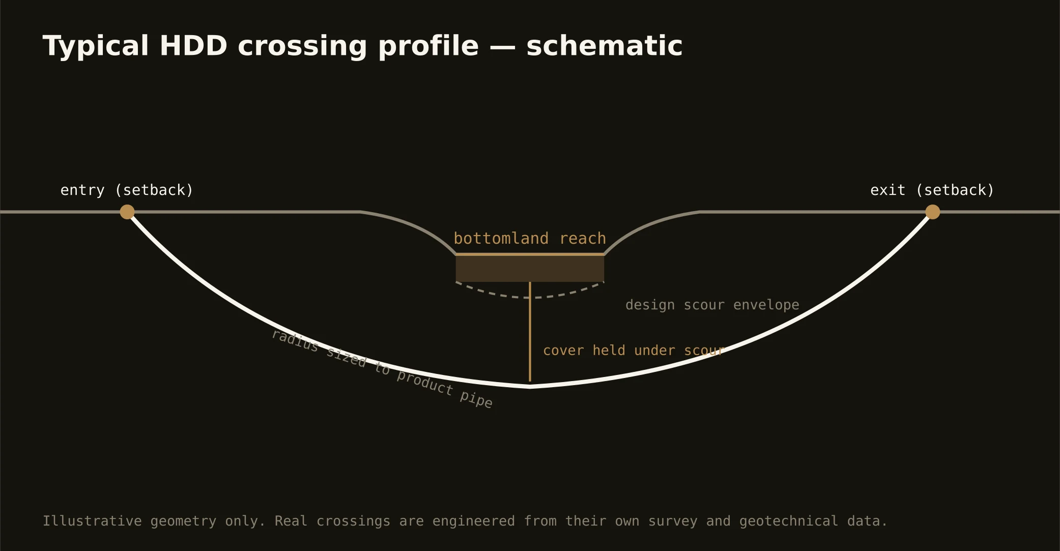
The valley is framed by its bottoms: the Brazos running the western line with Burleson across the water, the Navasota holding the east, and between them some of the longest-farmed land in Texas — colony-era bottomland where levee and drainage improvements, farm headlands, and river-crossing utilities all share the floodplain. The signature valley bore threads that world: crossings of the rivers themselves and the bottom's backwaters and sloughs, profiles set below channel and scour in alluvium the rivers built, and staging plans that respect a floodplain's calendar — these bottoms flood as part of their job description, and schedules honor the hydrology.
The stack fits working river country: state floodplain and water-quality machinery on the crossings, drainage and levee improvements' criteria where the districts' works apply, wetland jurisdiction in the sloughs and oxbow country, aquatic-habitat conditions on reaches the state flags, and the road or rail owner overhead — the river highway bridges and Hearne's rail corridors both cross this world. Our quotes name the stack for the actual reach.
Technically these are bottomland crossings in full: alluvial sands and silts with channel-thread gravels, high water tables that make every pit a dewatering conversation, buoyancy math on the product, and fluid discipline at river grade — containment both banks, monitored returns, and the response plan written before the pilot turns.