How Directional Drilling Works in Brazos Valley Ground
Two-story ground: sand over the pan
The post-oak savannah built the valley a two-story house: fine sandy loams upstairs — quick, cooperative drilling — over a dense claypan floor whose top arrives abruptly and whose plastic, slow-cutting world governs everything below it. The seam between the stories perches water after rains, holding seasonal moisture where deeper maps promise dry ground, and the drilling consequences follow: shallow bores fly, pan-crossing profiles price the clay honestly, and wet-season plans respect the perch. The river bottoms replace the whole structure with alluvium — floodplain silts, sands, and channel threads under bottomland manners. Two-story quoting names your level per reach, because the valley's ground changes more by depth than by distance.
Campus tempo and the counties' registers
The university sets the metro's clock: campus-grade coordination, standards-heavy submittals, shutdown windows, and the game-day calendar that reorganizes the valley a dozen Saturdays a year — all planned scope for anyone working here seriously. The counties add their own registers: Burleson's Austin Chalk country brings pad-site and gathering-line coordination with operator corridors worth asking about before pricing; Robertson's rail junction at Hearne keeps railroad windows live; and the whole valley's boomtown growth loads the permit queues at college-metro speed. The desk prices each register as itself.
The sequence, Aggieland edition
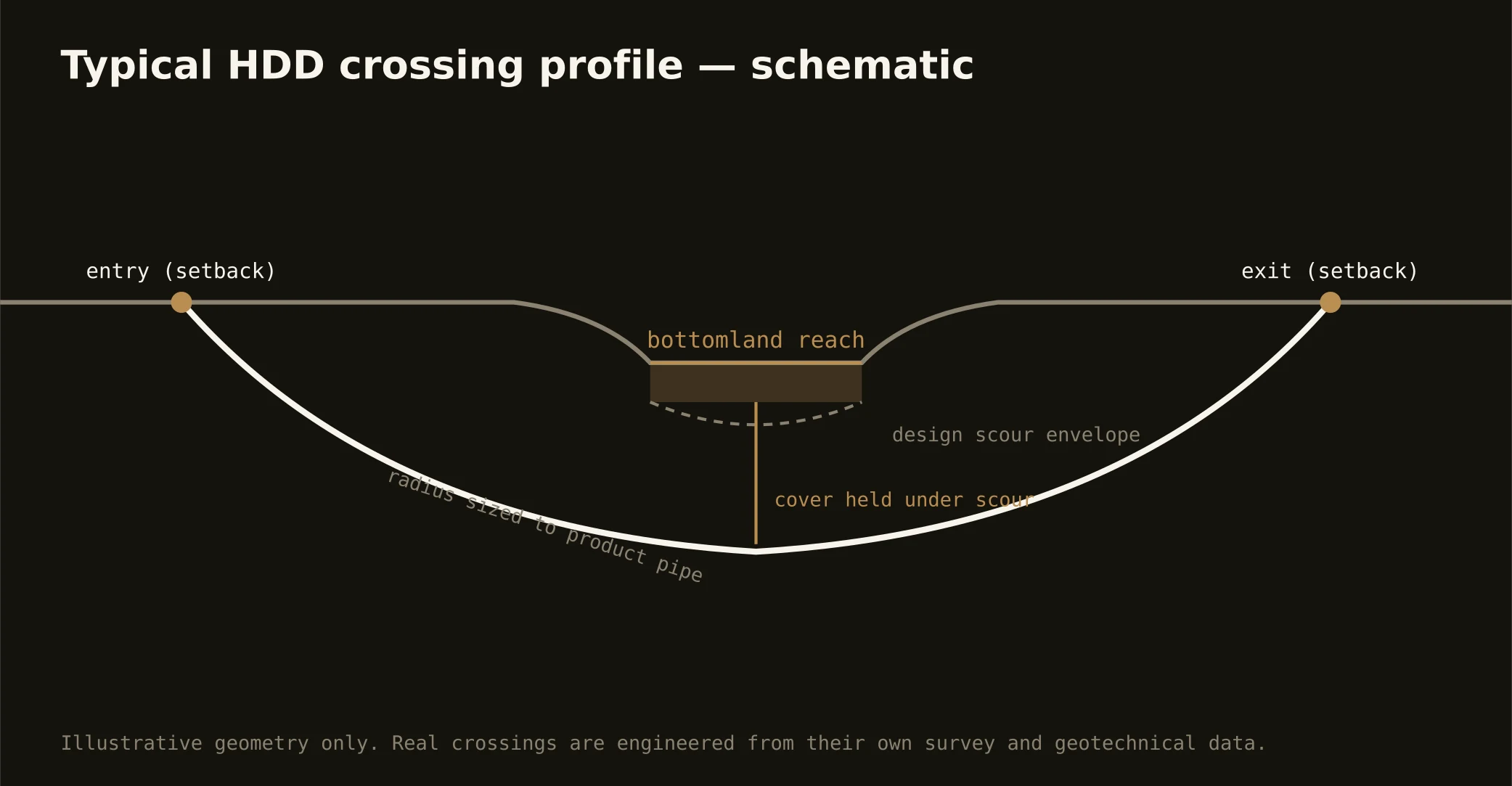
The bones are standard — locates plus private designating, potholes on every claimed utility, pilot on profile, ream to about one and a half times the product, pull, restore. Valley bends: fluid tuned by story with the pan's boundary respected, perched-water awareness in the wet months, game-day calendar honored near the corridors, chalk-country operator checks west of the river, bottomland manners at the floodplain edges, and restoration that treats campus lawns, subdivision yards, and bottom headlands as the different surfaces they are.
Who owns what you're crossing
The twin cities run their own ROW counters; three county departments cover the farm miles; TxDOT permits Highway 6 and the state spines. The university's machinery governs its campus world and shapes its corridors; state floodplain and water-quality rules ride the bottoms; drainage improvements carry their criteria; railroads permit Hearne's junction corridors; and the chalk country's operators keep their easements west. The quote names every owner on your alignment — here, the first questions are which story and whose calendar.
Straight answers
Will you hit rock on my bore?
No — the valley's story is soil, not stone: sand over claypan on the uplands, alluvium in the bottoms, with bedrock far below working range. The honest cautions are the pan's plastic world at depth, the perched water on its roof, and the bottoms' high water table — and the quote prices exactly those.
How deep do bores run under College Station streets?
Cover follows the owning authority's standard and sits below everything potholed on the alignment — with bottom crossings running to floodplain criteria and pan-country profiles choosing their story deliberately. The plan states your number and your level at it.
How fast can you mobilize for growth work?
At boomtown tempo: this is one of America's fastest-growing college metros, the network's scale is built for schedule certainty, and the valley's two calendars — the permit queues' and the game days' — are both built into every plan. The quote ships with the honest dates attached.
Ready to put a number on a real crossing? Send the scope — a person prices it.